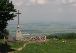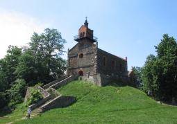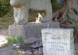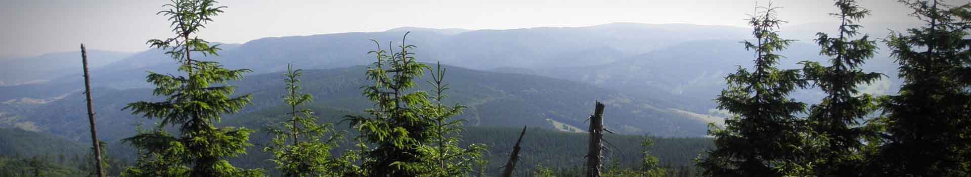

It was created to protect and preserve the natural and landscape environment of the Ślęży Massif, its cultural and historical values. It includes the Ślęży Mountain Massif, the Radunia Mountain Massif, the Oleszczeskie Hills, Kiełczyńskie Hills and Janska Góra. The highest point of the park is Góra Ślęża (718 m a.s.l.). About 5,500 ha (67% of the park's area) is covered by forests. There are 5 tourist routes within the park: - Around Ślęza, - Sobótka - Ślęża - Sulistrowice - Łagiewniki, - Strzeblów - Sobótka-Górka - Ślęż - Tąpadła Pass - Radunia - Jordanów Śl. - Strzelce Św. - Tąpadła Pass - Książnica Śl. - Krzczonów, - Sobótka - Ślęża - Tąpadła Pass - Książnica Śl. And three educational paths: - Archaeological and historical path, - Nature and geographical path, - Nature trail. And also 4 viewpoints: 1. Lookout tower at Wieżyca (415 m a.s.l.), 2. Observation tower in Ślęza (718 m a.s.l.), 3. The observation tower on Janska Góra (255 m a.s.l.), 4. "Skalna" viewpoint (524 m a.s.l.). Numerous public events are also held here: - March - Ślężański Marathon 33 and 1/3 - April - Easter Fair. - May - Mountain Run to Ślężę. - June - under Ślężą Śpiewanie - Lower Silesian Folklore Festival, Napoleonic Battle, Saturday Fair. - July - Ślężański Rally of Beetles, Wedding Bands Review. - November - Sled Dog Racing in the Footsteps of Ślężański Mnich.
No results
0.0/5
Number of ratings: 0