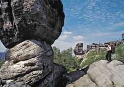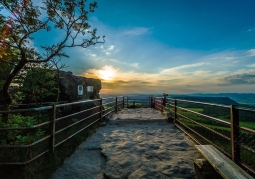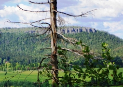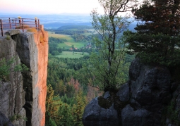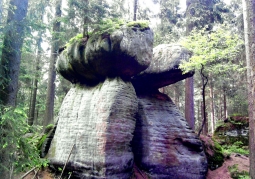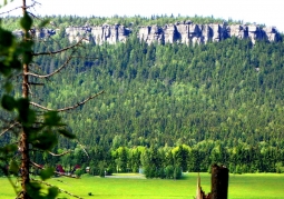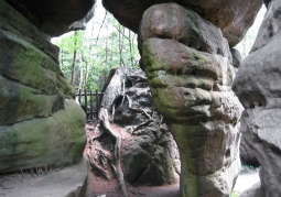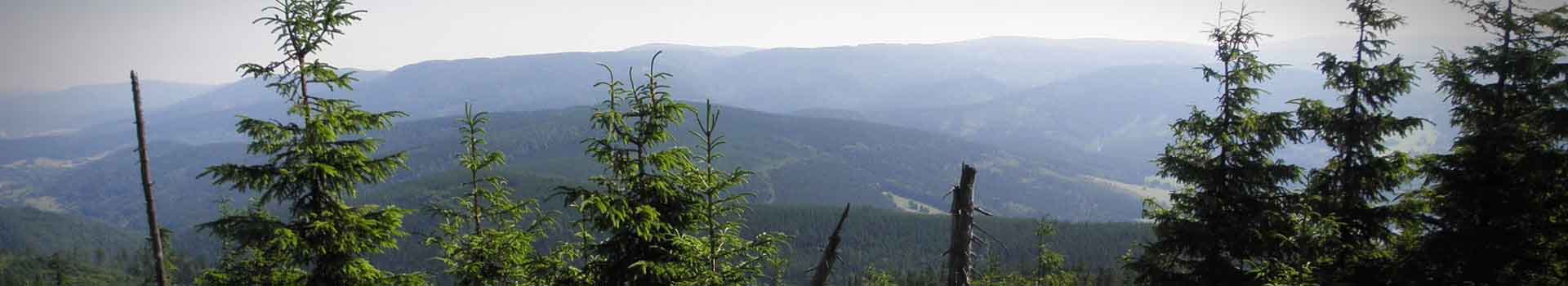
The Table Mountains National Park was created on September 16, 1993. It is located in the Central Sudetes in the north-west. Kłodzko land, at the Polish-Czech border. The Table Mountains is called located in the south-west of Poland. part of a vast, sandstone slab filling the basin of the Sudetenland, between the Karkonosze and the Bystrzyckie and Orlickie Mountains. Its Czech fragment is called Broumovska Vrchovina and is also under protection (CHKO-Broumovsko). The Table Mountains National Park is the nineteenth in order National Park created for the protection of inanimate nature in 1993. It is located in the Central Sudetes west. Kłodzko land, at the Polish-Czech border. The Stołowe Mountains close the Kłodzko Valley from the north-west, extending 17 km in the south-east: from the Polish-Czech border to the breakthrough valley of Bystrzyca Dusznicka near Polanica Zdrój. They form a fragment of the extensive (45 km long) clearly separated mountain range, which belongs to the Central Sudetes. A significant part of the north-west party is located on the territory of the Czech Republic, where it is called the Broumov Upland (Broumovska Vrchovina). This range passes back to Poland in the form of rising south of Mieroszów over the Zadrna valley, Zaworów. The Table Mountains National Park with an area of 6340 ha includes the plateau and central parts of the Table Mountains and the north-western part of the Lewińskie Hills. In the northwest, the Park borders with the Czech landscape park CHKO Broumovsko. From the south and north-east, the Park area is marked by a forest wall line running at the foot of the Table Mountains and the north-west fragment of the Lewińskie Hills. It has the shape of a triangle that marks the state border and international communication routes leading from it: road E 67 and road No. 388, converging in Polanica Zdrój. The Table Mountains National Park is crossed by the picturesque, at any time of the year, Szosa Stu Zakrętów. This road is the main communication artery of the Park. Breaking through the Stołowe Mountains it connects the cities of Kudowa Zdrój and Radków, located on opposite sides of the massif. The Stołowe Mountains National Park covers an area of about 63 km2 of their tops with the highest hills; Szczeliniec Wielki (919 m) and Skalniak (915 m). In the buffer zone of the Park there are popular health resorts: Polanica Zdrój, Duszniki Zdrój and Kudowa Zdrój.
No results
5.0/5
Number of ratings: 1
Address: Słoneczna 31 , 57-350 Kudowa Zdrój