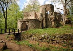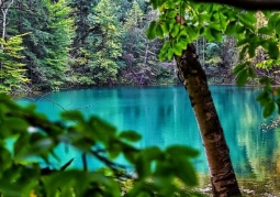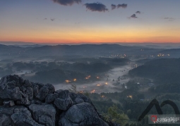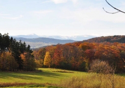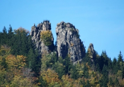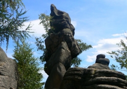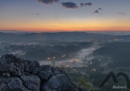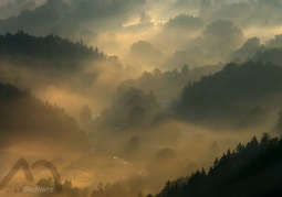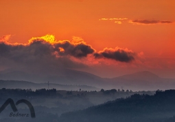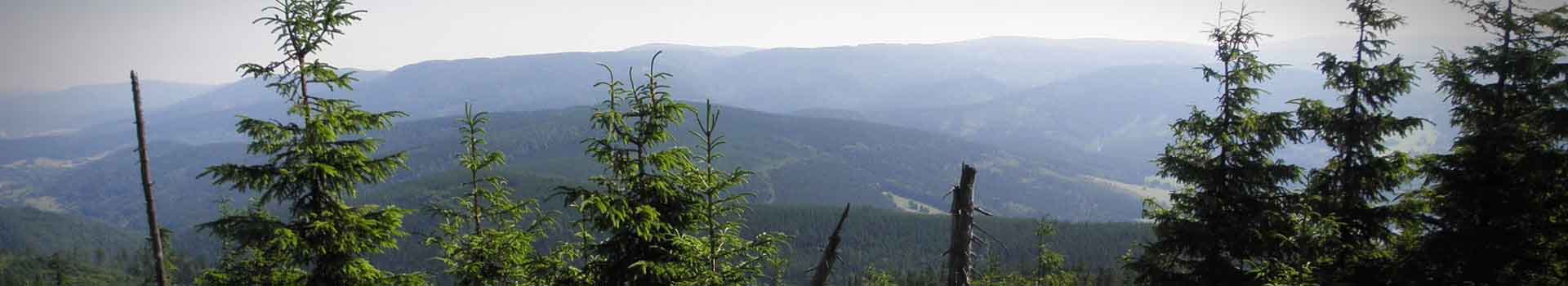
Rudawski Landscape Park is located on the border of the Western and Central Sudetes. Includes the Rudawy Janowickie, Sokole and Ołowiane Mountains. The dominant element of the park's landscape is the main ridge of the Rudawy Janowickie, stretching from the Kowarska Pass (727 m a.s.l.) to the groundbreaking Bóbr Valley between Ciechanowice and Janowice Wielkie. It has the character of a huge embankment with an even surface and relatively steep slopes, separating from each other two extensive depressions: the Jeleniogórska Valley and the Kamienna Góra Valley. In the dorsal line two passes are clearly visible: Pod Bobrzakiem (805 m a.s.l.) and Rudawska (740 m a.s.l.). The highest hill within the Park is Skalnik (945 m a.s.l.), and the lowest place is the Bóbr river bed near Wojanów-Bobrowa (about 350 m a.s.l.). A distinctive feature of the Rudawy Janowickie landscape is the diverse morphology of the main mountain ridges, numerous hills and culminations, and accompanying rocks or rock groups (e.g. Sokole Mountains, Starościńskie Rocks, Skalny Most, Fajka, Skalnik, etc.). The Lead Mountains with the culmination of Turzec (690 m a.s.l.) are separated from the Rudawy Janowickie by the picturesque gorge of the Bóbr. Also Lisie Mountains (671 m a.s.l.) are clearly separated from Rudawy Janowickie, which have the form of a small ridge (about 3.5 km long) with a meridional course.
No results
5.0/5
Number of ratings: 1