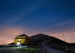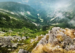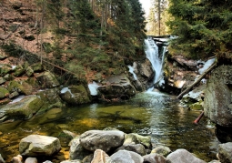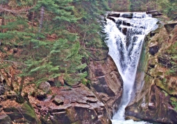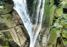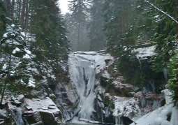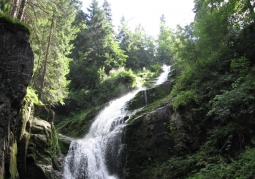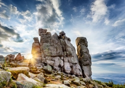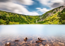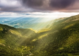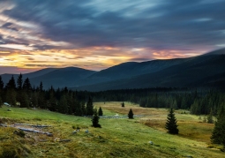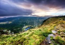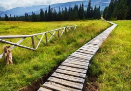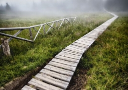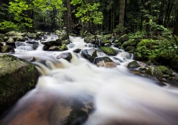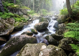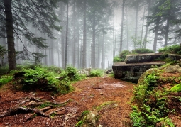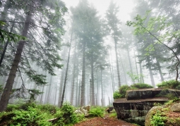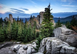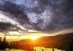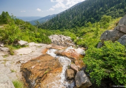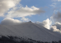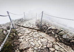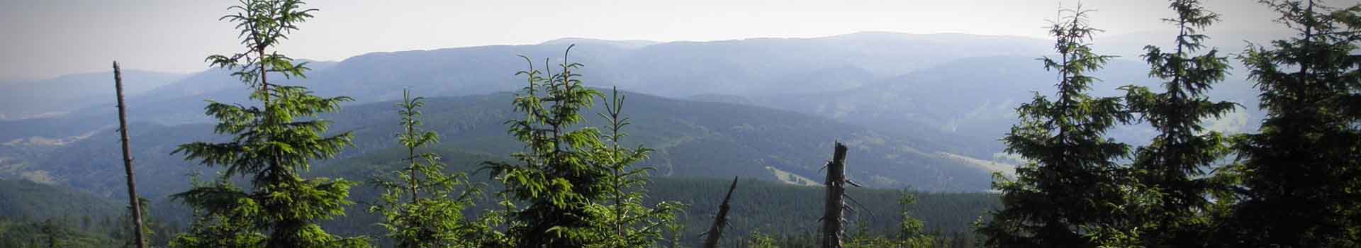
In the Giant Mountains, as in other mountain areas, there is a multi-storied arrangement of climatic zones associated with the dominant effect of height above sea level. The local population was mainly involved in agriculture, mining and metallurgy. After the discovery of quartz deposits in the 13th century, metallurgy began to develop in the Jizera Mountains. In the river valleys there were migratory smelters producing the so-called vitrum montanum - mountain glass. Glass works operated both on the Silesian side of the mountains in Piechowice, Szklarska Poręba and Czerniawa as well as on the Czech side, in Harrachov, Jablonec nad Nisou, Desna and Rokytnice. Whereas, where ore deposits were found, mines were established. The main ridge of the Karkonosze is run by a European water division, separating the basins of the Elbe and Odra rivers and separating the catchment areas of the Baltic Sea and the North Sea. The area of the Karkonosze National Park is drained mainly by two basins of the left tributaries of the Bóbr - Kamienna and Łomnica. These drainage basins are limited by water divisions designated for the most part by mountain ridges. In the west and north-west, the Kamienna basin is separated from the Izera basin - the right tributary of the Elbe and from the Kwisa and Kamienica catchments - Bóbr flows, separating the Izerskie Mountains. From the south-east, the Łomnica catchment borders on the catchments of the mountain tributaries of the Bóbr: Złotna and Świdnik, where a fragment of the park buffer zone reaches (on Lasocki Ridge). There are four main types of mountain streams distinguished in the Karkonosze: slope streams, mid-field streams, valley streams and valley-gorge streams. A fascinating story is written in the eastern rocks of the Karkonosze! Geologists read that about 380-340 million years ago, in geological periods called the Devonian and Carboniferous, the Western Sudetes found themselves in a collision zone, two continents that were then covering a large area, from the Appalachians in the United States and today's Atlas Mountains in Africa, along Europe to Turkey and the Caucasus (all this area was then near the equator). On the edge of one of these continents, rock series came over, which are currently building the eastern part of the Giant Mountains. The clash of these continents was associated with the closure of the sea reservoir, which in its substrate had an oceanic crust and the formation of a high mountain ridge.
No results
5.0/5
Number of ratings: 1